How asasii maps works
One in-house map of Malaysia, collected by our own team and kept current by owners and the people on the road.
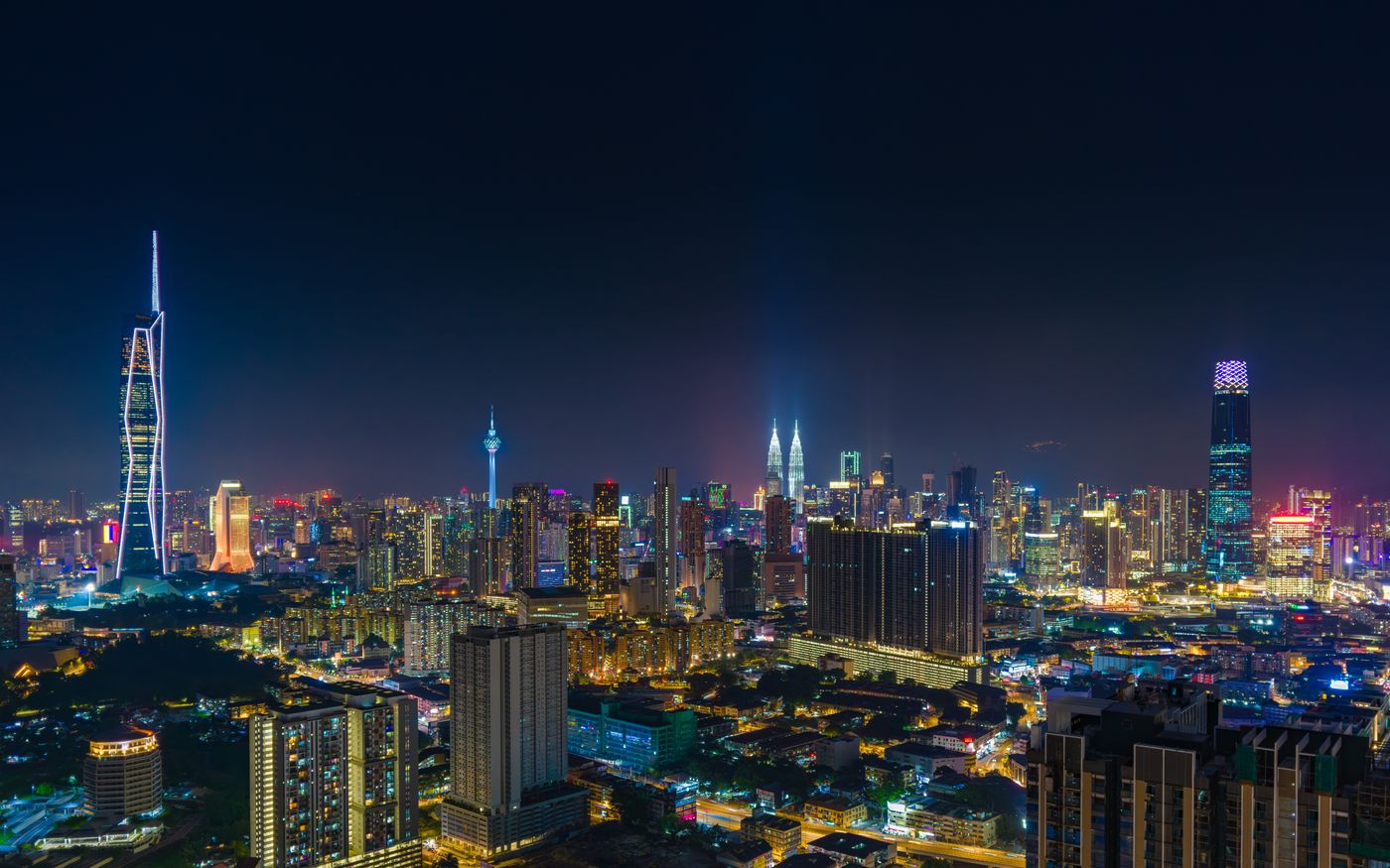
A day on asasii maps
From the ride to work to the rain on the way home.
- 07:00
The stall opens
A noodle stall owner opens the shutter. Her hours are on the map, so nobody arrives on Monday, the day she closes.
- 08:10
The ride to work
A rider sets off with motorcycle as his default. The route card says the plaza ahead is free for motorcycles.
- 08:12
The toll before choosing
His colleague drives. The car route shows its toll, and the route without toll sits under it with the ringgit it saves.
- 11:30
A delivery reaches the door
A delivery app built on the routing API brings its rider to the car park entrance of a shopping centre, not the middle of the block.
- 12:20
Arrival at the entrance
A walk to lunch ends at the shop's own entrance pin, and one tap confirms it was right.
- 15:20
The re-confirm
The stall owner re-confirms her hours, phone and entrance with one tap, and the tick stays on her pin.
- 17:30
A flood is reported
A rider reports a flood in two taps. The next riders through confirm it.
- 19:40
A reroute, offered
On the way home the app offers a way round the flood, with the minutes it saves. Keeping the route is one tap.
Who it's for
One map, read the same way by everyone who uses it.


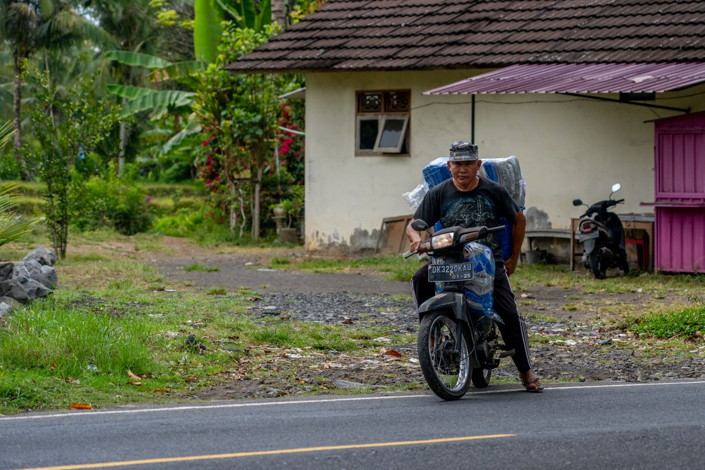


Where it runs
The base map is ours: roads, buildings, parks, water and places traced by our own team over our own drone and survey imagery and GPS tracks, with every version of every element kept. Owners verify their own places with a photo at the shop, a document or a field visit, and re-confirm them every 90 days. Drivers and riders report and confirm what is happening on the road. Toll rates come from our own toll table.
The app, the APIs and the GIS layers all read the same map. Sign-in, verification, toll data and road reports are our own, and nothing calls an outside map, traffic, transit or sign-in service. Coverage is Malaysia only: Peninsular Malaysia, Sabah and Sarawak.
Our servicesBuild on the map that knows Malaysia
Send us what you want to build on the map, such as a delivery app, fleet views or GIS layers for an agency, and roughly how much it will be used. An engineer replies with an integration plan and a proposal.