Every road, place and toll collected and kept in-house
The map is ours, from the base layer up. No outside map, traffic or registry data is used, and nothing calls an outside service.
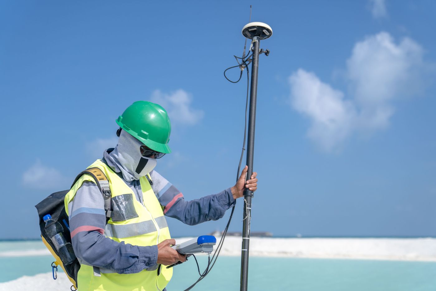
Collected in Malaysia
Roads, buildings, parks, water and places are traced by our own team over our own drone and survey imagery and GPS tracks. Owners add their own places, and community edits are checked by our team before they count.
- Malaysia only: Peninsular Malaysia, Sabah and Sarawak
- Entrances mapped by our field team
Every change on the record
Every road, building and place keeps every version, with who changed it, when and why. Edits go in as changesets that apply all at once or not at all.
Malaysian addresses, understood
Address shorthand such as ss2/24, jln, lrg and postcodes is read by our own address parser, and the app shows how it understood the address, so people can see why a result came up.
Our own toll table
Toll plazas and rates are kept by our own team and labelled with the date they were last checked, including which plazas a motorcycle pays at.
Nothing from outside
Own sign-in by phone number and a one-time code, own verification, own toll table and own road reports. No outside map, traffic, transit or sign-in service is involved.

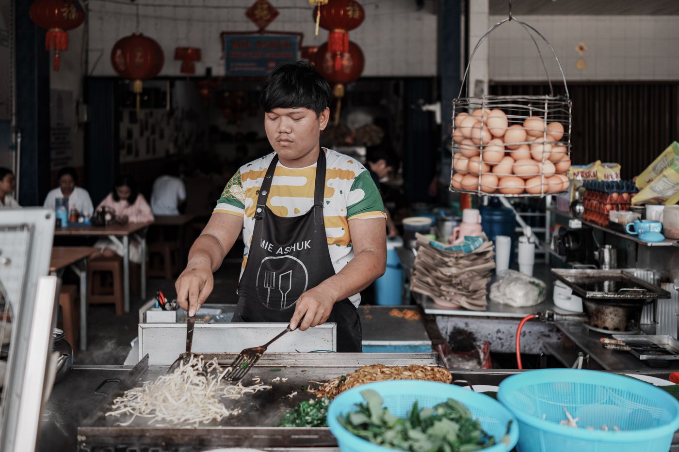
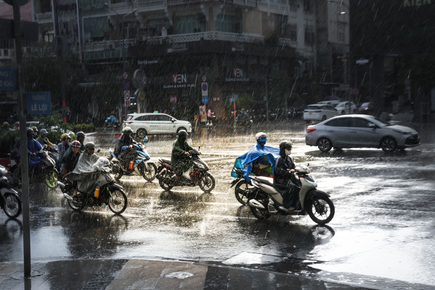
Build on the map that knows Malaysia
Send us what you want to build on the map, such as a delivery app, fleet views or GIS layers for an agency, and roughly how much it will be used. An engineer replies with an integration plan and a proposal.