Routes built for Malaysian roads, by car, motorcycle or on foot
Three ways to get there: car, motorcycle and walking. Every car route shows its toll before you choose, motorcycles get their own times, toll rules and parking, and every route ends at the door.
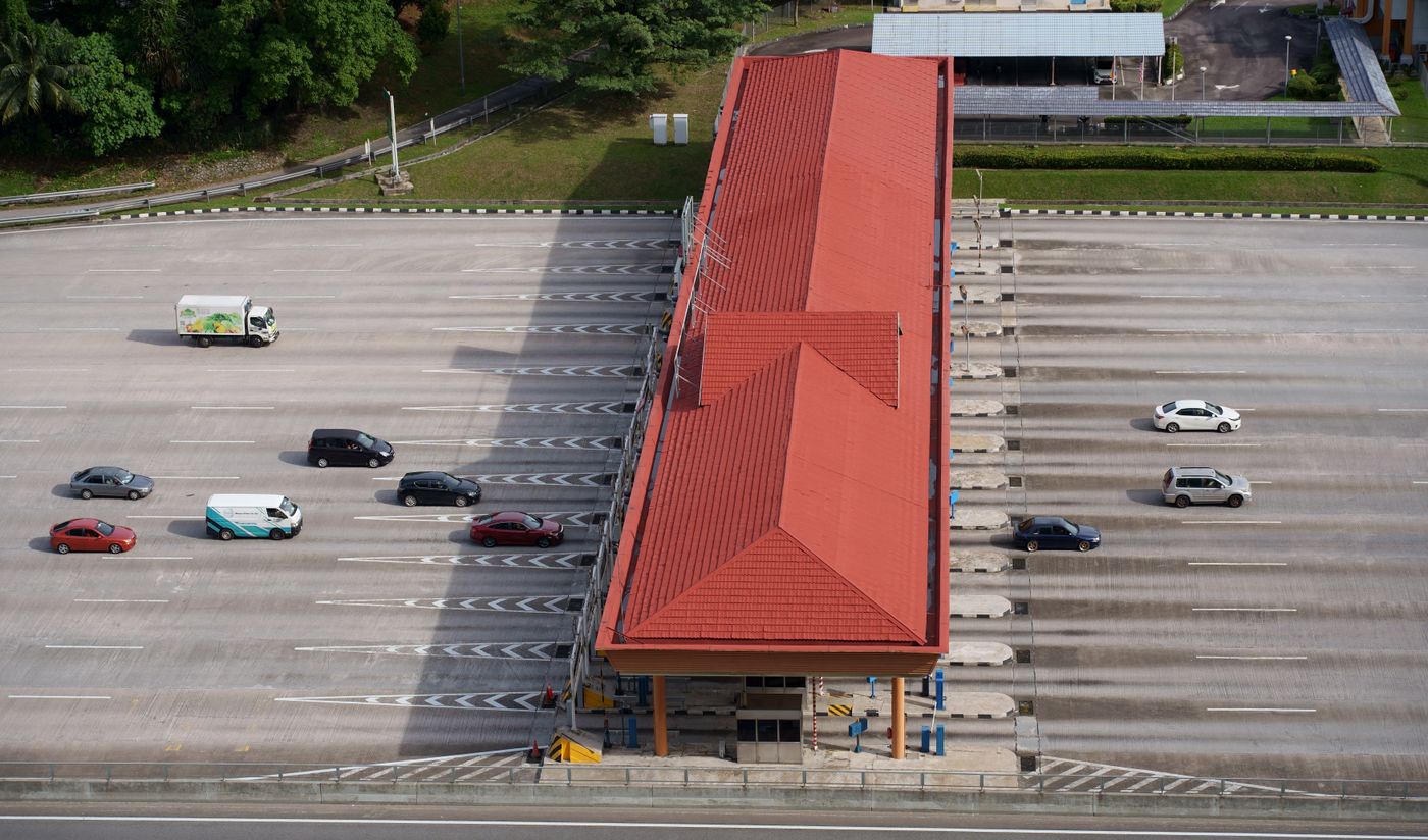
The toll before you choose
Every car route shows its toll, and the plaza is marked on the map. The route without toll sits right under it with the ringgit it saves, so the choice is time against money.
- Toll rates from our own toll table, with the date they were last checked
- Avoid tolls and avoid expressways, one switch each
Motorcycles, as a mode of their own
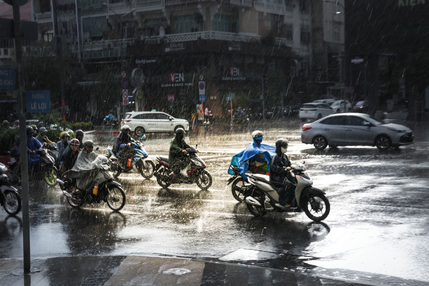
Motorcycle routes have their own travel times, use motorcycle lanes where they exist, follow the toll rules for motorcycles and end at motorcycle bays. A rider can make it the default.
Turn by turn, read at a glance
A large distance, the road name in full and the lane to be in, with the toll plaza ahead and whether a motorcycle pays at it.
Arrival at the entrance
A route ends at the entrance a place has pinned, not the middle of the building. A shopping centre with three entrances has three, each with its own note, such as a drop-off lane or a height limit at the car park ramp.
- One tap after arrival confirms the entrance was right
Without signal
The whole Klang Valley is kept on the phone, maps and places, so search and routes keep working in car parks and tunnels.
Build on the map that knows Malaysia
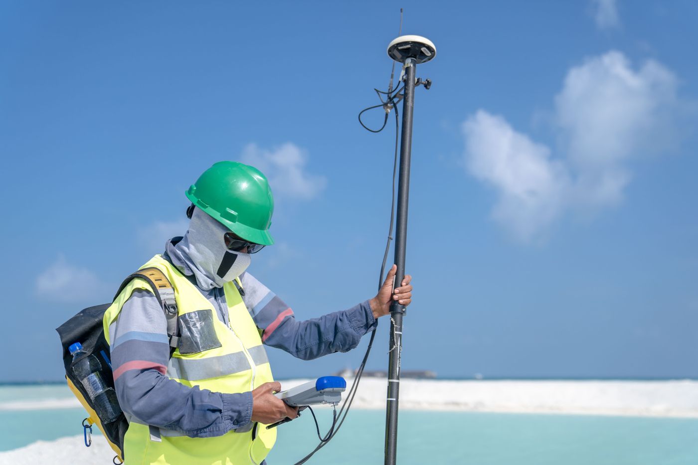
Send us what you want to build on the map, such as a delivery app, fleet views or GIS layers for an agency, and roughly how much it will be used. An engineer replies with an integration plan and a proposal.