The same in-house map, for your own products and systems
Businesses and agencies use the same map the app runs on: the same roads, the same verified places, the same toll table. Nothing in the path comes from an outside service.

Map tiles
Vector tiles of roads, buildings, land use, water and places, styled to your product or ours, for web and mobile apps.
Search and geocoding
Malaysian addresses and places turned into a position and back, read by the same parser as the app, with verified places marked as verified.
Routing and navigation
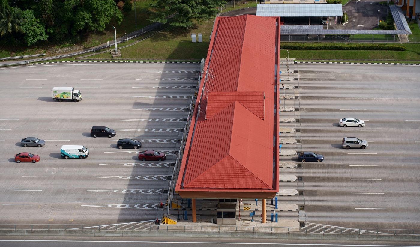
Routes, travel times and turn-by-turn guidance by car, motorcycle or on foot, with the toll for each car route and arrival at the entrance.
Fleet and logistics views
Vehicles and riders shown live on the map, routes planned on Malaysian roads with their tolls, and drop-offs that end at the right entrance.
Government GIS layers
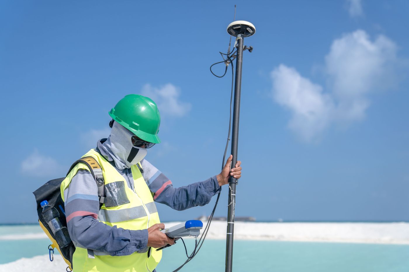
Roads, buildings, land use and places as layers an agency can work with beside its own data, from the same map and the same edit history.

Build on the map that knows Malaysia
Send us what you want to build on the map, such as a delivery app, fleet views or GIS layers for an agency, and roughly how much it will be used. An engineer replies with an integration plan and a proposal.