The map that knows Malaysia
Places checked by their owners, routes built for local roads, the toll before you choose, and floods and jams from people nearby. One in-house map for the app, for businesses and for government, with nothing from outside.
- Verified by owners
- A tick on the pin, re-confirmed every 90 days.
- Toll up front
- The toll on every car route, from our own toll table.
- Motorcycles first-class
- Their own routes, toll rules and parking.
- Nothing from outside
- Own map data, own sign-in, own road reports.
From the shop door to the API
Six features on one in-house map, for people on the road, business owners, developers and government.
- NavigationCar, motorcycle and walking, with the toll on every car route.
- Verified placesOwner-verified places, re-confirmed every 90 days.
- Road reportsFloods, jams and closures, confirmed by people nearby.
- For businessClaim, verify and keep your listing right, free.
- Our own map dataRoads, places and tolls, collected and kept in-house.
- APIs and SDKsTiles, search, routing, fleet views and GIS layers.
A day on asasii maps
From the ride to work to the rain on the way home.
- 07:00
The stall opens
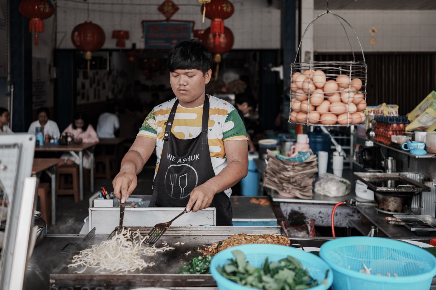
A noodle stall owner opens the shutter. Her hours are on the map, so nobody arrives on Monday, the day she closes.
- 08:10
The ride to work
A rider sets off with motorcycle as his default. The route card says the plaza ahead is free for motorcycles.
- 08:12
The toll before choosing
His colleague drives. The car route shows its toll, and the route without toll sits under it with the ringgit it saves.
- 11:30
A delivery reaches the door
A delivery app built on the routing API brings its rider to the car park entrance of a shopping centre, not the middle of the block.
- 12:20
Arrival at the entrance
A walk to lunch ends at the shop's own entrance pin, and one tap confirms it was right.
- 15:20
The re-confirm
The stall owner re-confirms her hours, phone and entrance with one tap, and the tick stays on her pin.
- 17:30
A flood is reported
A rider reports a flood in two taps. The next riders through confirm it.
- 19:40
A reroute, offered
On the way home the app offers a way round the flood, with the minutes it saves. Keeping the route is one tap.
Who it's for
One map, read the same way by everyone who uses it.
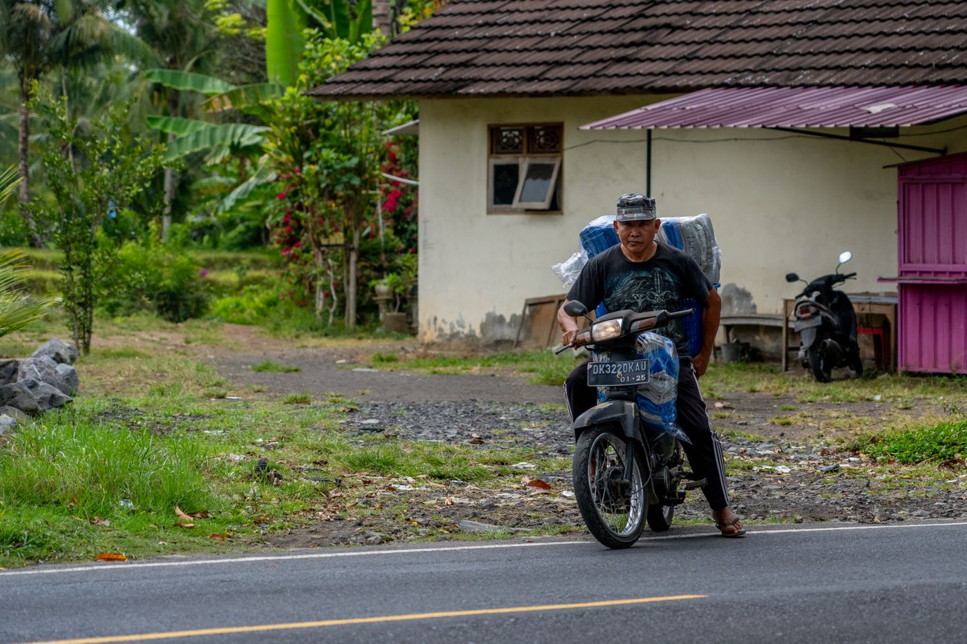

A map made in Malaysia, not for everywhere
Global maps get the roads mostly right and the local details wrong. asasii maps is built on its own data, for Malaysia only.
| Topic | A global map app | asasii maps |
|---|---|---|
| The map data | Collected for the world, with local gaps | Collected and kept in Malaysia, by our own team |
| Places | Shops that closed years ago, pins in the middle of a building | Verified by their owners, re-confirmed every 90 days, routed to the entrance |
| Toll | Often missing from the route | On every car route, from our own toll table |
| Motorcycles | A car route, ridden | Their own routes, toll rules and parking |
| Your data | Shared across a global platform | Kept by asasii maps, with nothing sent to an outside service |
Privacy and Malaysian data
What happens to a person's location, a business's documents and the map itself.
Security and data overview- PDPA 2010
- Personal data handled under the Personal Data Protection Act 2010, and kept by asasii maps only.
- Location history off
- Off unless a person turns it on; trips route you and are then discarded.
- Anonymous road reports
- Road reports never carry a name, and a phone number is never shown on reviews or edits.
- Own sign-in
- A phone number and a one-time code, with no outside account provider.
- Documents deleted
- Business documents seen only by our review team and deleted after the check.
- Edit history
- Every change to the map kept with who made it, when and why.
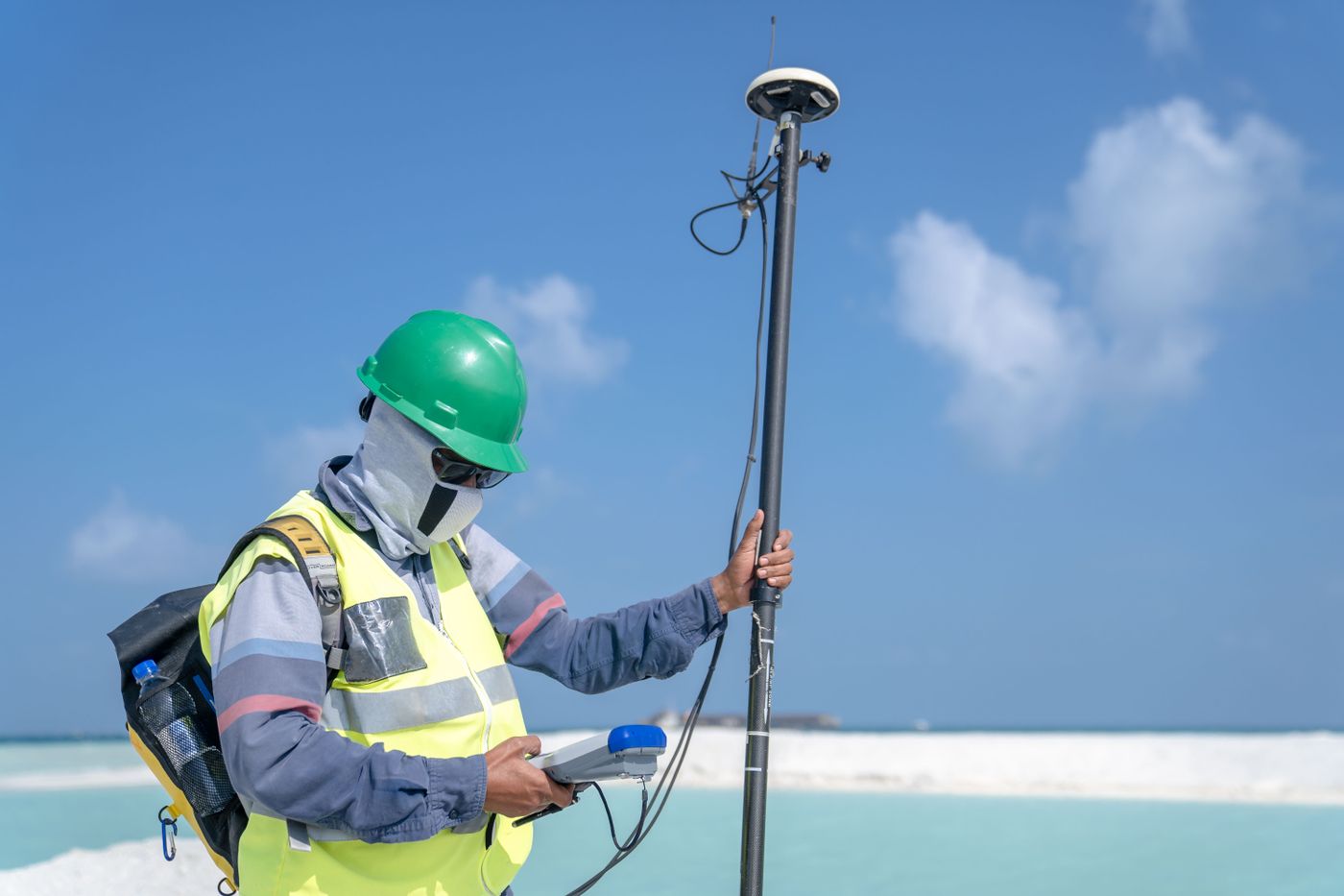
Built and kept current by idataraya
asasii maps is built and run by idataraya on its own map data, with its own field team, review team and toll table. Businesses and agencies that build on it use the same in-house map the app runs on.
- A field team that maps entrances and visits businesses
- A review team that checks documents, certificates and edits
- Versioned APIs, with notice before anything changes
- Support and incident response under a yearly agreement
Questions people ask
About the map, the places, the routes and building on it.
Where does the map data come from?
From our own team. Roads, buildings, parks, water and places are traced over our own drone and survey imagery and GPS tracks, owners add and verify their own places, and community edits are checked by our team. No outside map, traffic or registry data is used.
How is a business verified?
In one of three ways, all handled by asasii maps: a photo of the shop taken in the app, stamped with the GPS position and the time and within 30 m of the pin; a photo of the business registration certificate, read by our review team; or a visit from our own field team. Nothing is checked against an outside registry. The owner then re-confirms the details every 90 days to keep the tick.
How do road reports work?
A driver or rider reports a jam, accident, flood, closure, pothole or hazard in two taps. The next people through are asked whether it is still there, so confirmations keep it on the map and answers that it has gone clear it. A report nobody confirms fades out.
How is toll shown?
On every car route, before you choose, with the plaza marked on the map and the route without toll offered underneath with the ringgit it saves. Rates come from our own toll table, labelled with the date they were last checked, including which plazas a motorcycle pays at.
Is there public transit?
No. Routes are by car, motorcycle and on foot. Public transit would depend on outside timetables, and asasii maps uses none.
What happens to my location?
Location history is off unless you turn it on, trips are used to route you and then discarded, and road reports never carry a name. Everything is kept by asasii maps, and nothing is sent to an outside service.
Can our business or agency build on the map?
Yes. Map tiles, search and geocoding, routing and navigation, fleet tracking views and GIS layers all come from the same in-house map the app runs on, with Malaysian addresses, motorcycle routes and toll costs built in.